

Emergency Maps You Should Have Before the Signal Fails
Published May 27, 2026
View the current dashboard
HazardNow brings multiple public signals into one situational-awareness view. Open the live dashboard to review current indicators alongside the context in this article.
HazardNow provides context from public sources and is not a replacement for official alerts or emergency instructions.
Digital navigation is excellent when it works. Preparedness means planning for times when power, mobile data, road status, or device battery become the limiting factor.
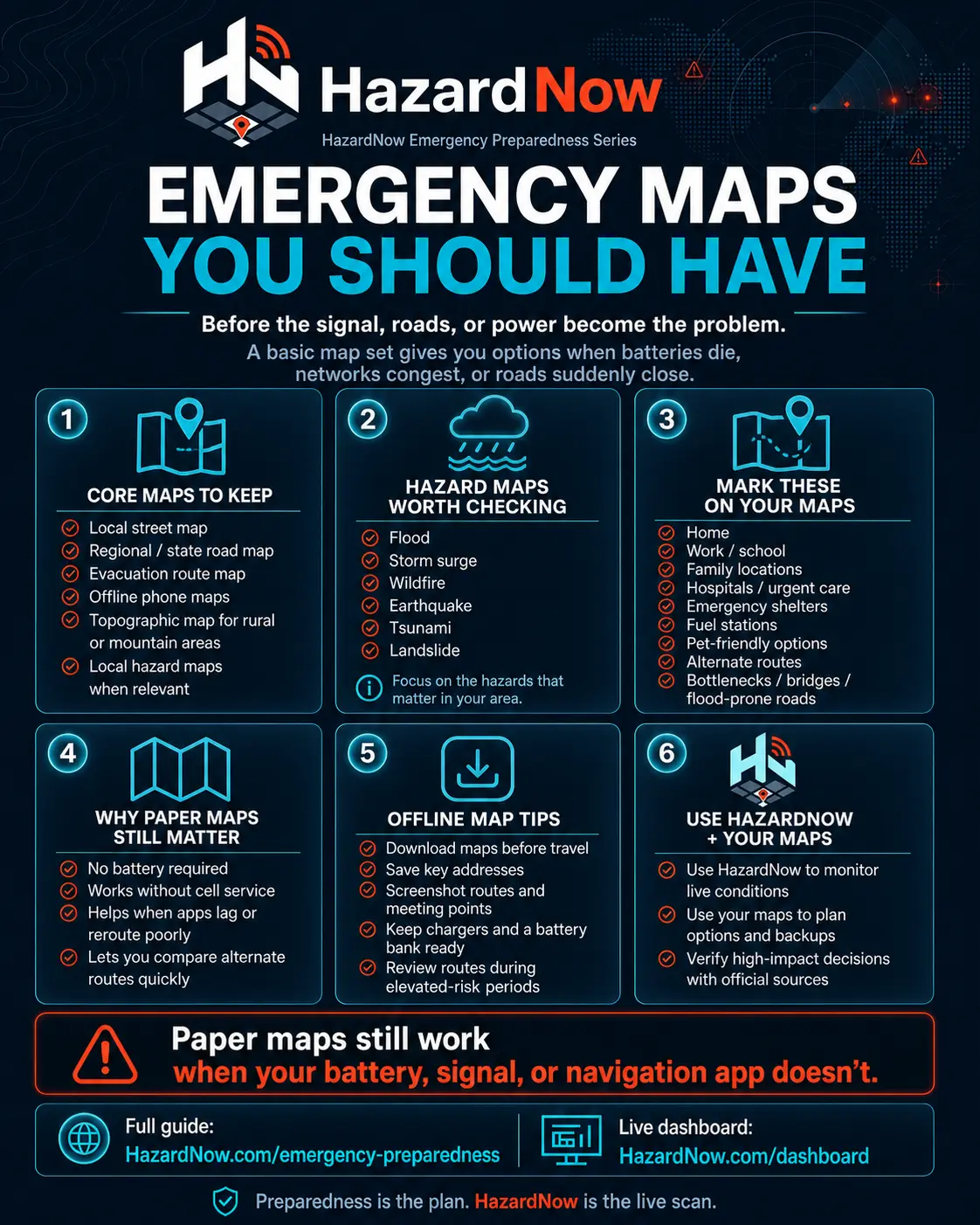
Build a layered map set
Include:
- Local street maps
- Regional or state road maps
- Official evacuation route maps
- Offline phone maps downloaded in advance
- Topographic maps where terrain matters
- Local hazard maps (flood, wildfire, surge, tsunami, landslide, earthquake)
Mark key points ahead of time: home, work/school, hospitals, shelters, fuel, pet-friendly options, alternate routes, and known bottlenecks.
The HazardNow live dashboard can show broader public signals, but your map set should be prepared before connectivity becomes the problem. For additional planning resources, see emergency preparedness and what HazardNow tracks.
Related HazardNow guides
Use these supporting pages to connect this article with the live dashboard, source notes, and preparedness guidance.
Continue exploring HazardNow
Review current public signals on the live dashboard, compare them with historical county records, see what data categories HazardNow tracks, or build a practical preparedness routine before conditions change.
- See today’s live U.S. hazard conditions
- FEMA and NOAA disaster history by county
- What HazardNow tracks
- Emergency preparedness
- FAQ
- Data sources
For official alerts, warnings, evacuation notices, or emergency instructions, use authoritative sources and local agencies.